
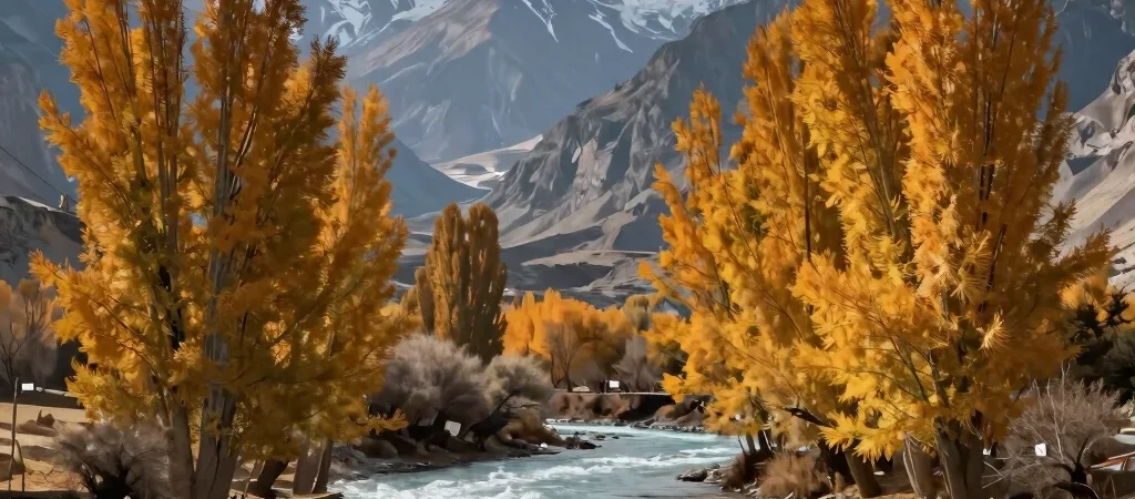
Navigating the Karakoram Range during the transitional autumn months reveals a side of northern Pakistan that few casual travelers ever witness. As the summer crowds fade from Hunza and Skardu, yellow poplar leaves reflect against glacial riverbeds under sharp blue skies. Planning a high-altitude itinerary during this brief window requires careful attention to road conditions along the Karakoram Highway and localized weather shifts.
Mapping the High Valley Routes
The passage from Gilgit to Karimabad offers dramatic shifts in terrain, transitioning from arid rock faces to lush terraced orchards. Travelers aiming for Passu Cones or the trek up to Rush Lake should secure experienced local porters and verify jeep transport options well ahead of arrival. High-clearance four-wheel-drive vehicles remain essential for navigating side valleys like Phander and Hushe where unpaved tracks predominate.
Essential Equipment for Alpine Transitions
Temperature swings in northern Pakistan during late October can range from sunny days in the seventies to sub-zero night temperatures at higher elevations. Layering systems featuring high-loft down and windproof outer shells are indispensable for high camps. Reliable satellite communication devices and offline navigation maps ensure safety when crossing zones with limited cellular coverage.